
Delair receives first official European Union authorization for BVLOS drone operations with the UX11 UAS

Delair Flight Deck Pro 6. 0.13.15 Beta - Release Notes

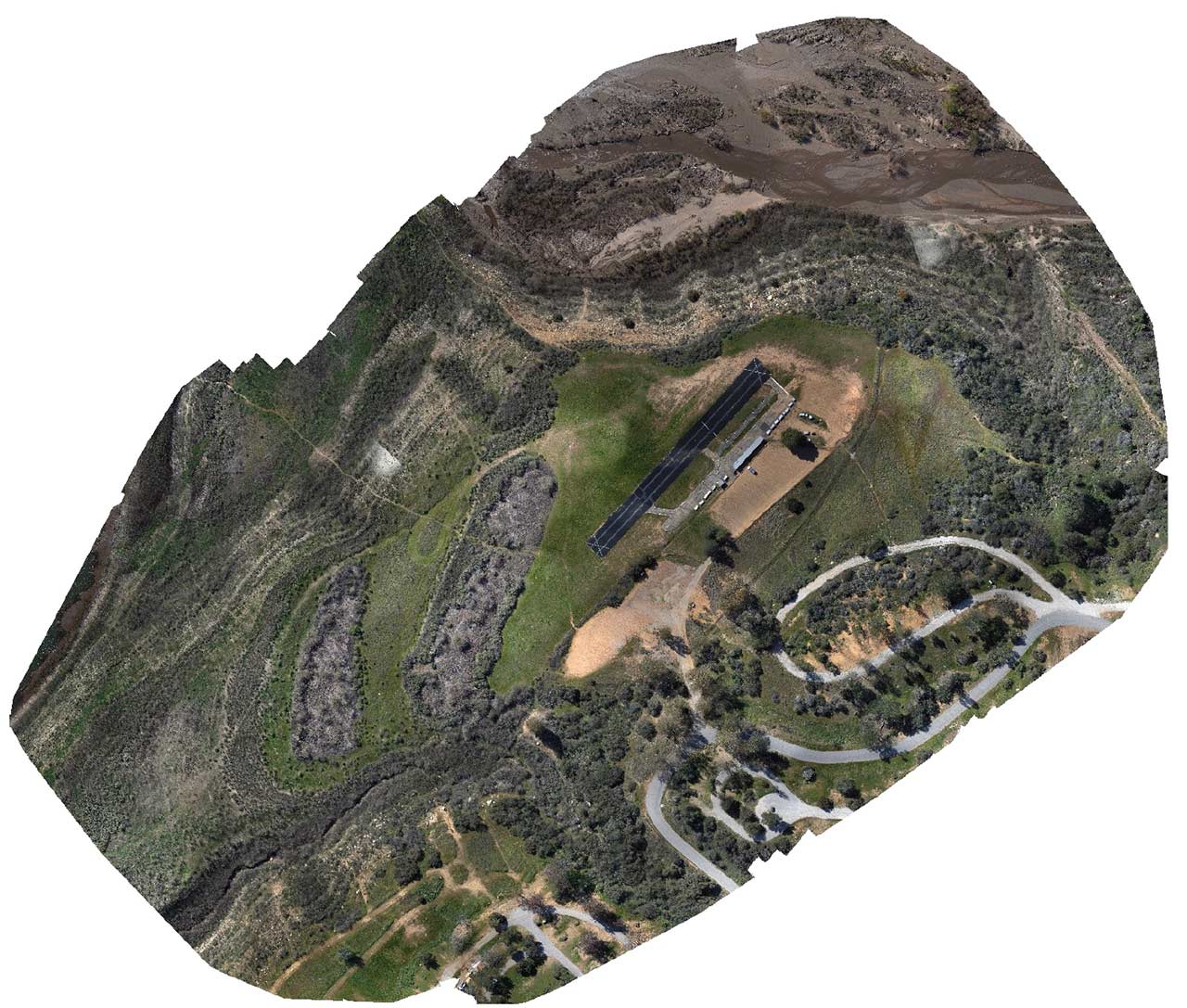
Survey-grade Mapping with a Delair UX11 PPK

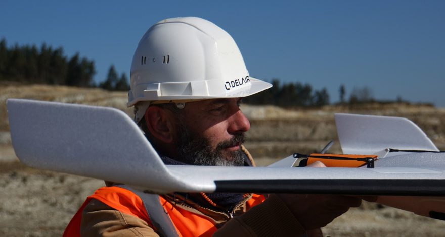
JPB mines long-term value from adopting Delair drones for more efficient engineering services delivery

INFOGRAPHIC: The anatomy of a great quarry site


LATEST ARTICLES
The European Union, through the EASA (European Union Aviation Safety Agency), has implemented the first union-wide regulations for drone operations, including the first rules for BVLOS (Beyond Visual Line Of Sight) flights. Delair is amongst the first companies to receive the EU BVLOS certification, which enables the company to...
Read more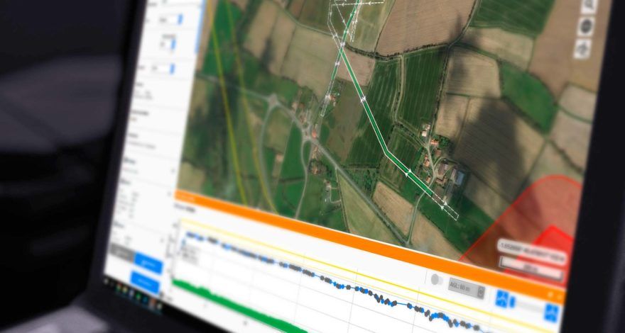
This version is “Technology Preview”, providing early access to new and exciting features and supporting extended use cases compared to the regular Delair Flight Deck software for the UX11 and UX11 Ag UAVs.
Read more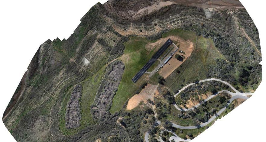
The Delair UX11 PPK is a high-accuracy mapping drone. In a site with 24 checkpoints and no GCPs, it can produce maps with an accuracy under 3cm (0.1 ft).
Read more
How the adoption of the Delair UX11 fixed-wing drone allowed Johnson Poole and Bloomer to increase safety and improved efficiency for gathering visual information.
Read more
All the key-steps in the functioning of a career thanks to including the latest data-driven technologies in a this infographics.
Read more