Business Solutions
Geospatial Solutions
The Delair UX11 solution enables geospatial professionals such as land surveyors, mine engineers, GIS analysts, and field technicians to capture aerial imagery with an intuitive easy-to-use workflow. Meanwhile the Delair DT26E LiDAR lends itself to more complex projects with its dual sensor payload that collects LiDAR and photogrammetry data at the same time.
With Delair’s professional mapping drones, you can map sites large and small, and create accurate digital surface and terrain models with or without vegetation cover.
You decide where to map by drawing a polygon around your area of interest in the mission planning software, then you takeoff and leave the rest to the drone. The autopilot, in conjunction with its various onboard sensors and electronics, will execute the flight automatically according to your pre-set flight plan.
Following the automated landing of the drone, you simply retrieve your data, then create, view, and analyze your maps. You will be visualizing up to date, high resolution, georeferenced imagery and 3D models that you can overlay with other geospatial data and from which you can easily take measurements.
- 21.4 MP images from global shutter, industrial RGB camera
- Unlimited range with cellular communications
- Up to 59 min endurance
- Nominal coverage of 1.2 km² (300 ac) with 1.7 cm GSD at 120 m (400 ft) AGL
- Maximum coverage of 6.5 km² (1,600 ac) with 13.9 cm GSD at 1,000 m (3,280 ft) AGL
- Map accuracy dow to 3cm
- BVLOS ready
- RIEGL MiniVUX-1DL LiDAR sensor with 200 m range, 5 target echoes, 100,000 points per second
- 21.4 MP images from global shutter, industrial RGB camera
- Applanix APX-15UAV survey-grade GNSS/IMU sensor
- Advanced telecommunications with extended range
- Up to 110 min endurance
- Maximum surface area coverage of 9.7 km² (2,400 ac) at 120 m (400 ft) AGL
- BVLOS ready
Solutions.
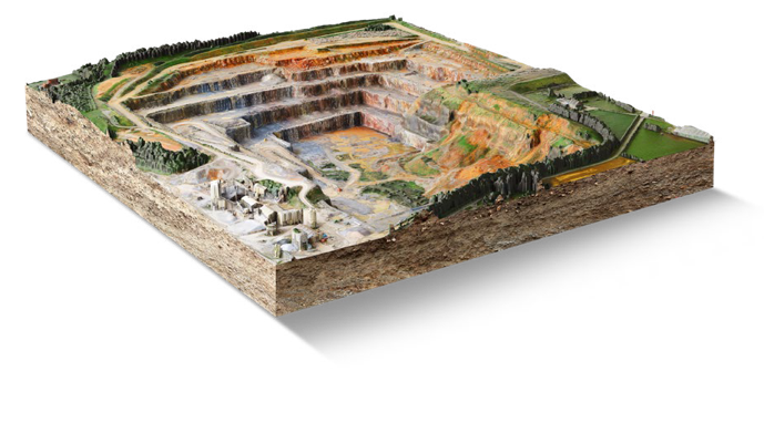
Terrain modeling
Delair drone images are geotagged with high-precision coordinates and can be processed in mainstream desktop and cloud photogrammetric software such as Alteia, Pix4DMapper, Agisoft Metashape, Trimble Business Center, and others. 2D outputs generally include orthomosaic images and digital surface models (DSM) which are typically in geotiff format, while 3D outputs such as point clouds (.las) and meshes (.obj). These standard deliverables can be consumed by most GIS and many CAD based softwares.
From there, data can be further modeled, extrapolated, classified, or manually edited to reduce noise (error) and vegetation cover from surfaces in order to yield a bare earth digital terrain model (DTM).
This is often the deliverable most sought after by surveyors in order to take precise measurements and accurate positions of features, distances, volumes, slopes, elevation profiles, and locations found in the project site.
Environmental permitting and conservation
Whether you are preparing an Environmental Impact Statement (EIS), and Environmental Assessment (EA), or simply conducting research, aerial imagery and surface models provide unique perspectives and an archive of data that can be used both initially and as baseline data for later on as the project progresses.
The UX11 PPK is useful for modeling terrain for slope stability, wetland delineation, and general feature data collection. The UX11 Ag with its multispectral camera can provide additional insight on vegetation cover, invasive species detection, and habitat delineation. The DT26E LiDAR can also be useful for stratifying vegetation and extracting a terrain model.
Biologists, environmental scientists, hydrologists, and geomorphologists can all benefit from the unique perspectives found in data collected by Delair drones.
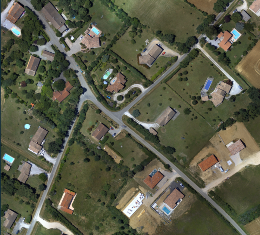
Land development
Cadaster