Delair Flight Deck Pro 6. 0.13.15 Beta - Release Notes
This release note contain information about the Delair Flight Deck Pro software, version 6.0.13.15- beta (“Technology Preview / Early Access release”).
Objectives
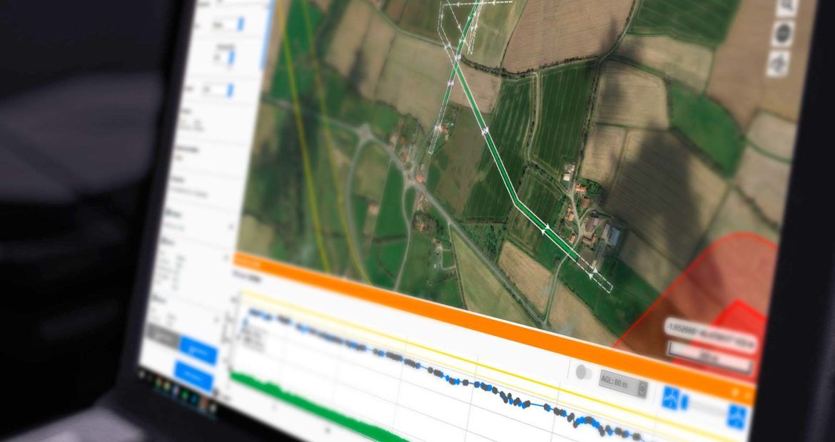
Delair Flight Deck Pro is an unmanned aerial vehicle’s flight management & ground station software with advanced and scalable mission preparation, flight planning and in-flight operation features.
This version is “Technology Preview”, providing early access to new and exciting features and supporting extended use cases, compared to the regular Delair Flight Deck software for the UX11 and UX11 Ag aircrafts.
It enables you to look under the hood of Delair’s latest innovations, to test functionality and benefit from the advanced features introduced in the application. However, the software is not yet considered feature-complete. Notably, some features already existing in the regular Delair Flight Deck application are planned to be provided in a future update.
Features
|
|
Delair Flight Deck Pro 6.0.13 |
Delair Flight Deck 6.0.13/6.0.14 |
|
Operating system. |
Windows 10, 64-bit system |
Android™ 6 to Android 9 |
|
Flight plans with multiple areas of interest. |
|
|
|
Flight plans for linear missions (“routes”). |
|
|
|
Custom flight plans: |
|
|
|
Custom flight plans: |
|
|
|
Flight height custom smoothing on the elevation graph. |
|
|
|
Custom DEM import: |
|
|
|
Vector file import: |
|
|
| Map overlays: Supported format. |
|
|
| Color shaded DEM as map overlay. |
|
|
| Real-time image coverage. |
|
|
| Real-time image mapping. |
|
|
| Measure tools (distance, surface, angles). |
|
|
| Supported aircrafts (UAVs). |
|
|
| “Rapid climb” option (for eagle avoidance). |
|
|
| “Big areas” — flight splitting & resuming. |
|
|
| Flight in QFE. |
|
|
| Real-time flight progress (colored flight lines, etc.) |
|
|
| Communications. |
|
|
(*) Planned for a future update of Delair Flight Deck Pro. (**) Planned for a future update of Delair Flight Deck.
(**) Planned for a future update of Delair Flight Deck.
Installation information
Prerequisite:
- Windows 10, 64-bit desktop computer
- Minimum: o Dual core CPU
- RAM: 4 GB
- Storage: HDD, min. 15 GB free space (for map tiles, DEM tiles and cached resources)
- Display resolution: 1440×900
- Recommended: o Quad-core Intel CPU (Core i5 or higher)
- GPU: Intel HD Graphics
- RAM: 8 GB
- Storage: SSD, min. 15 GB free space (for map tiles, DEM tiles and cached resources)
- Display resolution: 1920×1080
- The computer must be connected to the Internet during the installation process.
- Networking/communications: o Wi-Fi 802.11 a/b/n or ac, supporting both the 2.4 GHz and 5 GHz Wi-Fi bands
NOTE: Where authorized by the local regulations, support for the 5 GHz Wi-Fi band is strongly recommended for use with the Delair Link module.
- Go to https://download.mydelair.com
- Download the Delair Flight Deck Pro installer, delairflightdeckpro-windows-x86_64-version.exe (where version stands for the latest available version).
- Launch the installer and follow the instructions.
- During the installation, you will also be prompted to download Digital Elevation Model (SRTM90 DEM) files locally. Select a subset of the DEM according to your needs.
NOTE: The complete SRTM90 DEM is about 12 GB, and can also be installed or updated later, from within the application itself (during mission preparation and flight planning, in the “Maps” tab). The application can also use user-imported DEM files (“custom DEM”) in various standard formats.