
LATEST ARTICLES
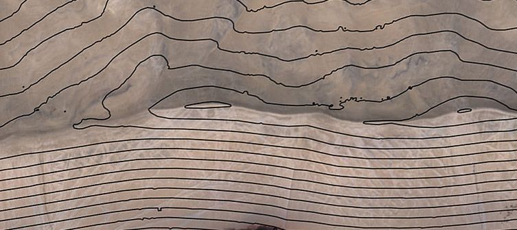
Topographic mapping is a routine task for many surveyors, engineers, and construction professionals. Just about any project design requires a topographic survey in order for a project manager to know what the characteristics of the ground are in order to properly design the project.
Read more
Every geospatial project starts with a well-defined scope. Within that scope there is inevitably a plan for how the data to be analyzed will first be collected.
Read more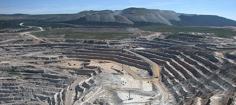
Whether determining the location of one asset relative to another or identifying the geographic coordinates of a feature on the Earth, geospatial professionals are focused on identifying where things are. Accurate location data enables land surveyors, construction foremen, engineers, and others to take precise
Read more
On the occasion of the International LiDAR Mapping Forum taking place in Denver, CO (USA), from Monday, February 13th to Wednesday, February 15th, Delair released a white paper entitled “DT26X – LiDAR performances”.
Read more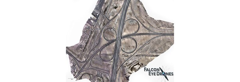
On the 7th and 8th of August 2016, Delair’s DT18 flew 2 hours each day just before noon during rush hour over one of the busiest interchange on the biggest highway in Dubai.
Read more