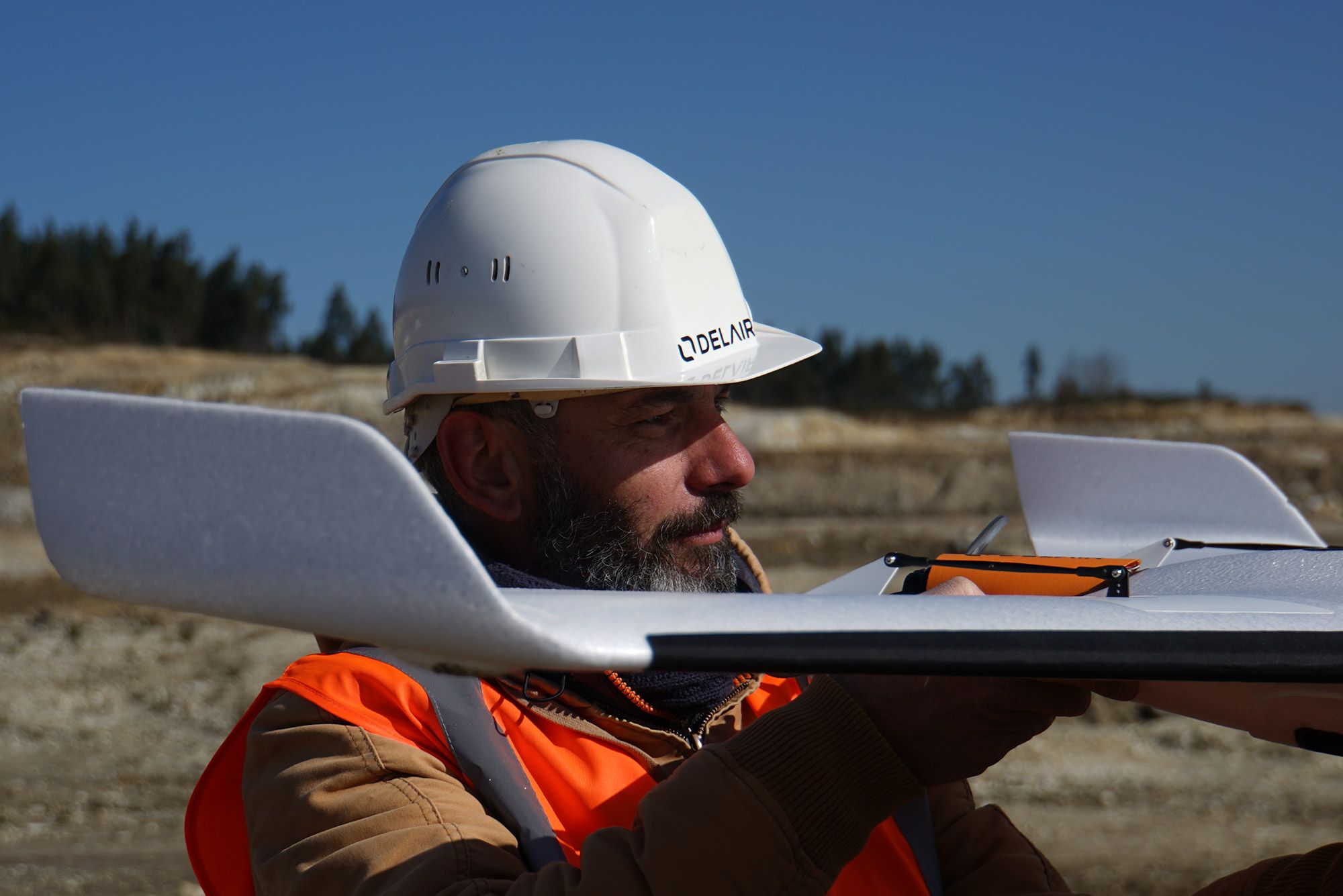
Delair receives first official European Union authorization for BVLOS drone operations with the UX11 UAS
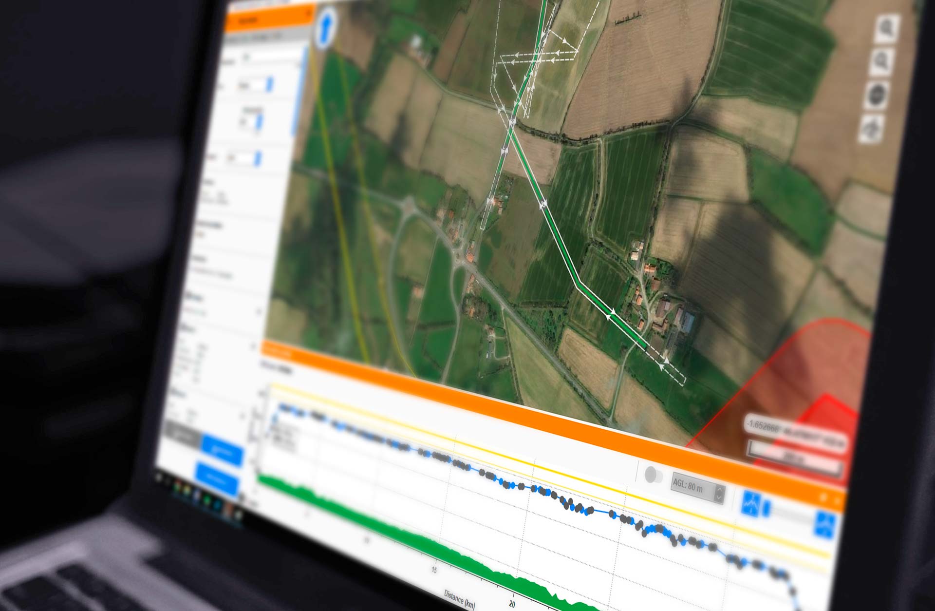
Delair Flight Deck Pro 6. 0.13.15 Beta - Release Notes
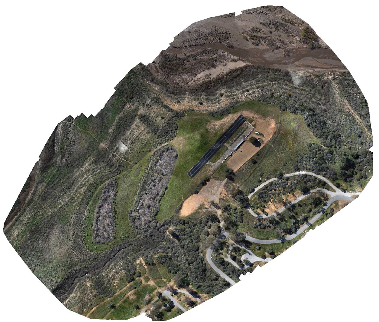
Survey-grade Mapping with a Delair UX11 PPK
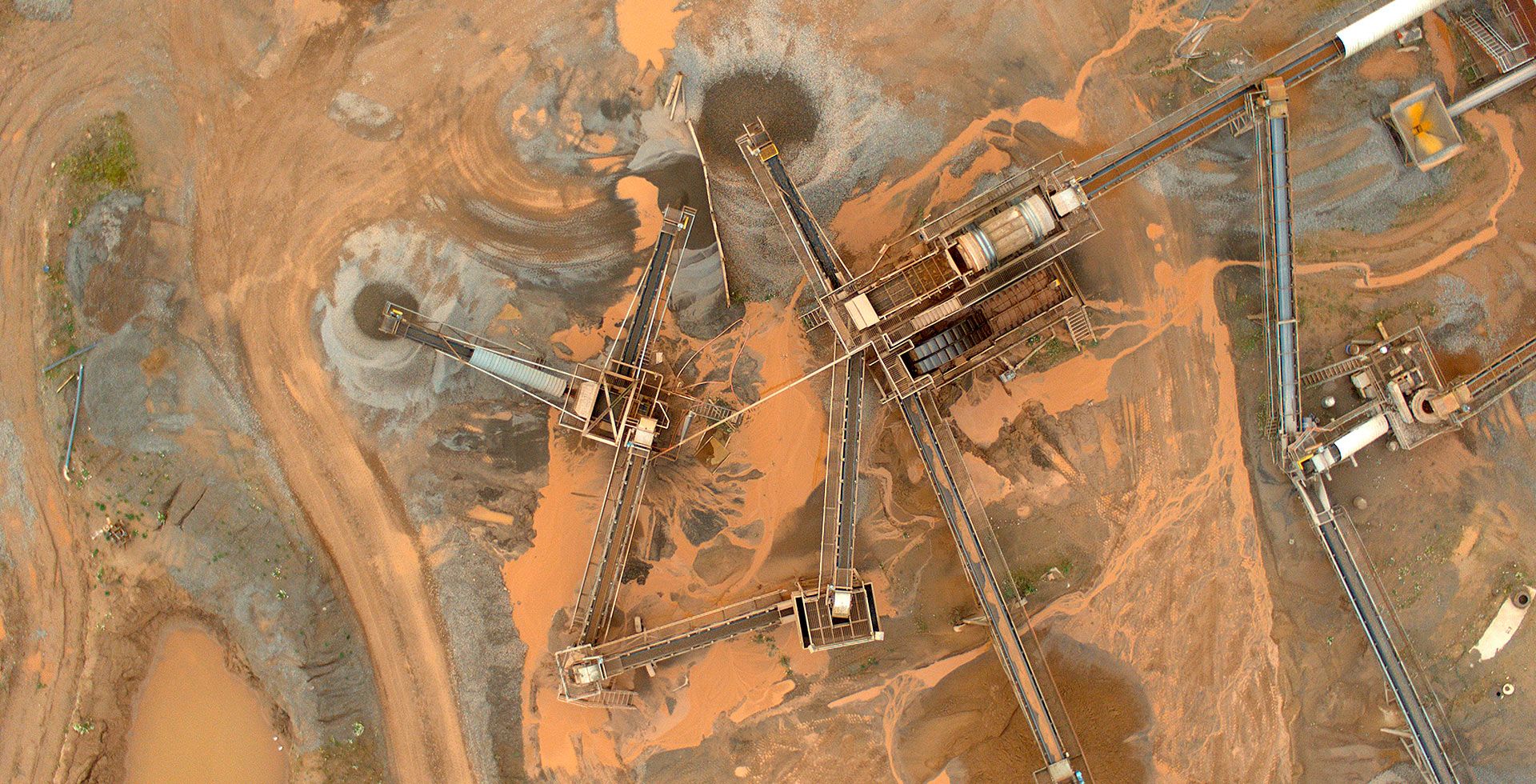
JPB mines long-term value from adopting Delair drones for more efficient engineering services delivery
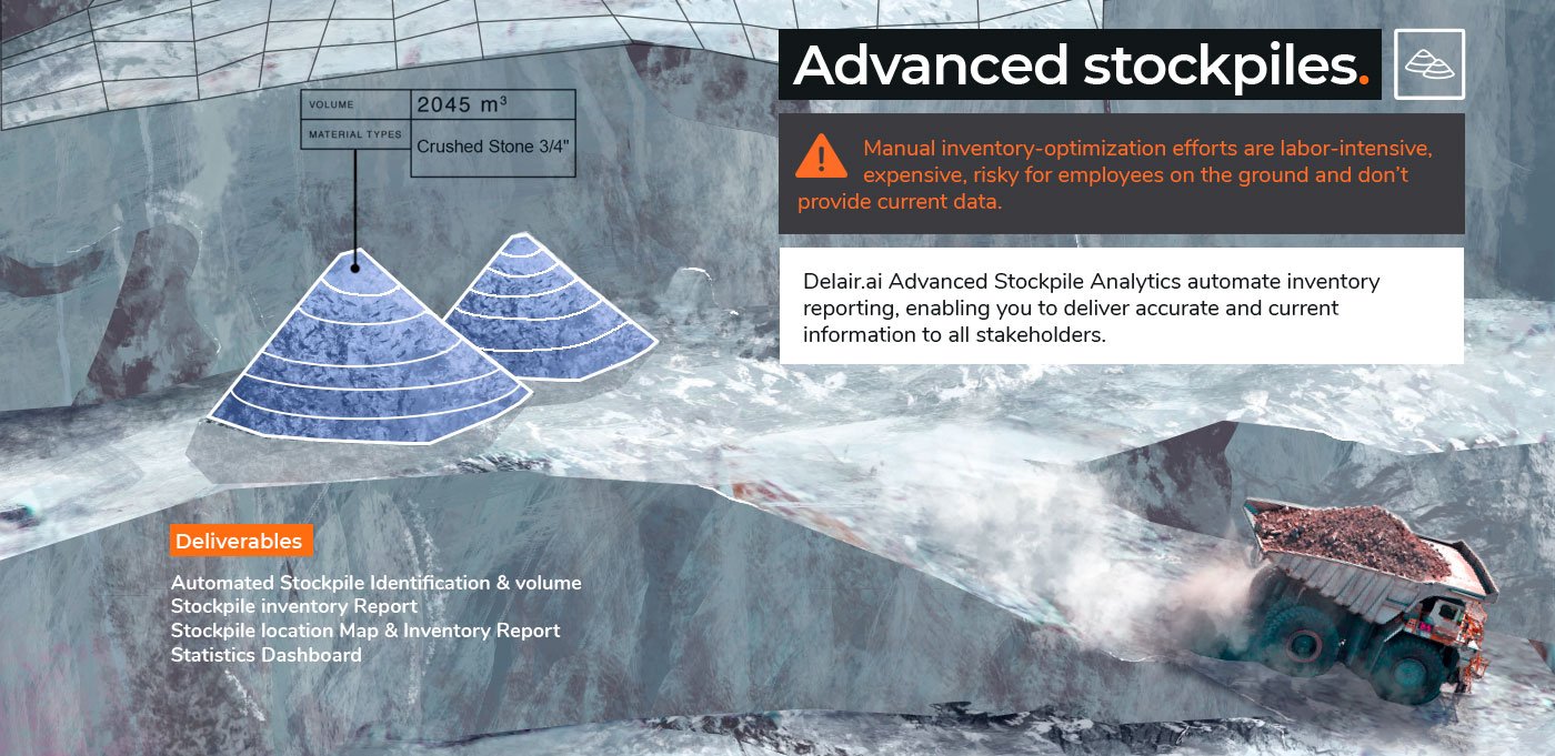
INFOGRAPHIC: The anatomy of a great quarry site
LATEST ARTICLES

Delair White Paper entitled Get “the Z” right : methodology for achieving centimeter accuracy using drone-acquired data for mapping and topography purposes written by Bastien MANCINI, co-founder of Delair and Technical Director. In this scientist paper you will understand the benefits of precision GNSS/IMU on the accuracy of products...
Read more
People tend to mix the resolution of a digital camera (an optical system, made of a lens and a sensor) with the number of pixels that form the array of the sensor of a camera (5, 10, 30Mpix). This video aims to clarify notions you need to know before...
Read more
Our mission for the Freeride World Tour: Located in Verbier, in Switzerland, “Le bec des rosses” is a famous summit to practice freeriding. With its +500 meters of vertical drop, the face is known as very technical and demanding by the best riders. Only the best of them will...
Read more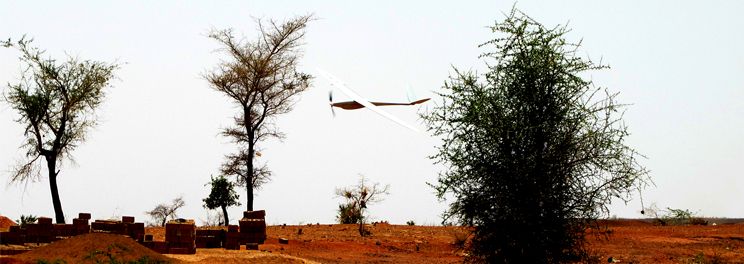
Bolloré Africa Logistics choose Delair’s solution to make a topographic mapping of 150 km x 500 m in order to create a new railways
Read more
Meanwhile, far away from the Paris Air Show, Kipungu security SARL is managing aerial survey in the Democratic Republic of the Congo with Delair’s DT18.
Read more