
LATEST ARTICLES
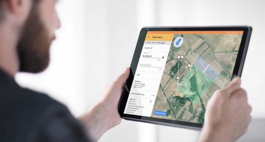
Delair UX11: large-area mission planning made simple by allowing the pilot to conduct multiple flights with a single flight plan, by respecting geofences.
Read more
With this update of Delair Flight Deck, the Delair UX11's pilot can now easily switch from 2.4 GHz band used to communicate with the the ground control station to cellular, on-the-fly to keep continuous command and control of the drone. The Delair UX11 can automatically adjust the location...
Read more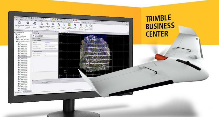
Delair’s long standing partnership with Trimble yields a major enhancement to a streamlined drone photogrammetry workflow - the recent release of Trimble Business Center v5.0 now supports high-precision PPK drone data with a new JXL output exclusively available with the Delair UX11 PPK drone.
Read more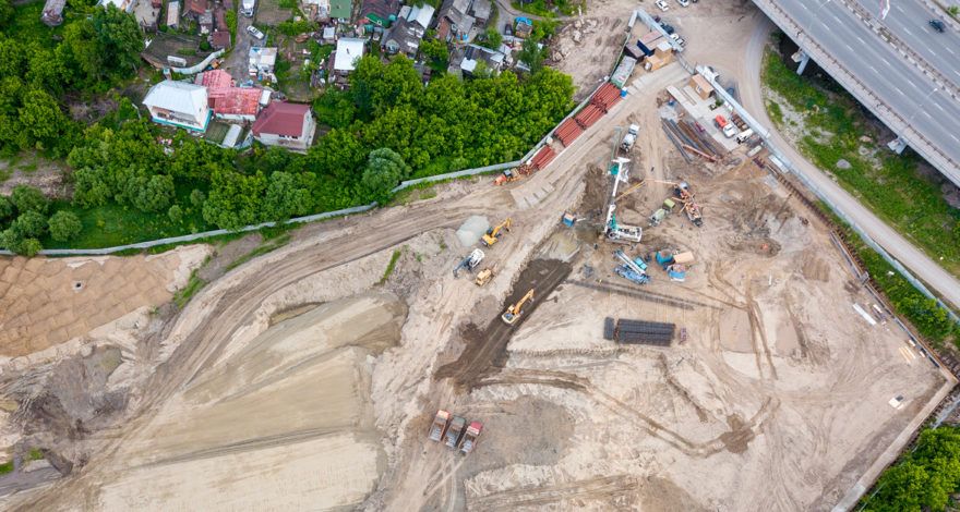
Aerial data today play a key role in the digitization strategy for construction sites. Drones, or unmanned aerial vehicles (UAVs), are part of an increasingly connected environment where machines and tools are equipped with a wide range of technological tools and sensors. The aerial and ground data merged and...
Read more
Light distance and ranging (LiDAR) technology has advanced tremendously in recent years and the valuable data it provides is highly sought after.
Read more