
LATEST ARTICLES
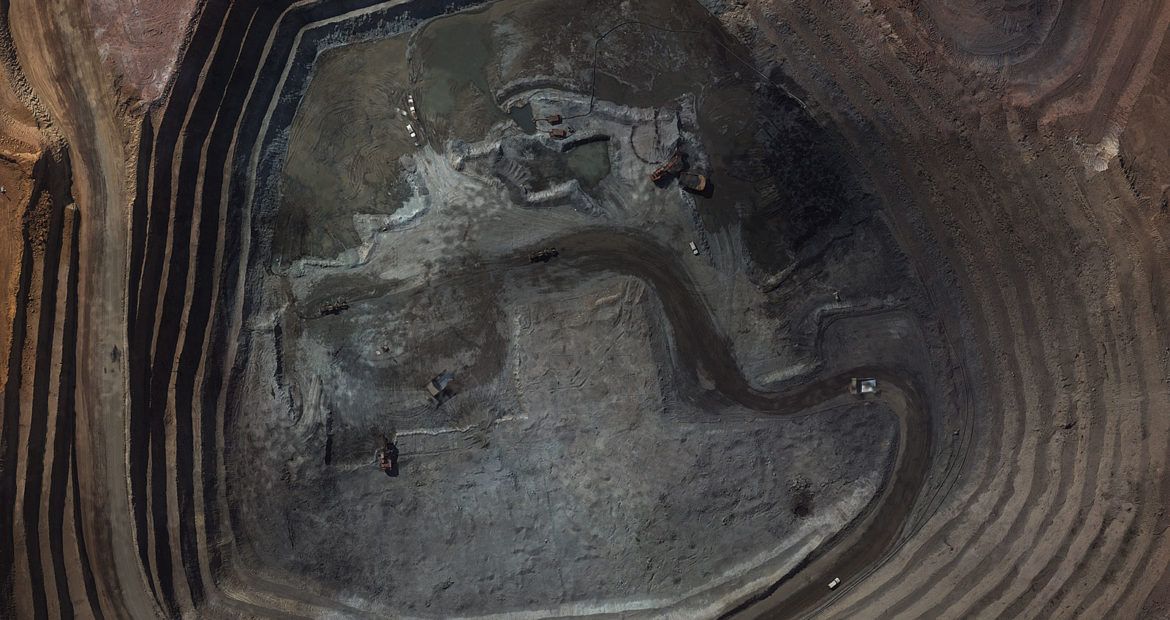
The copper mine at Tenke Fungurume (TFM) in the Katanga Province of the Democratic Republic of Congo. TFM’s mining...
Read more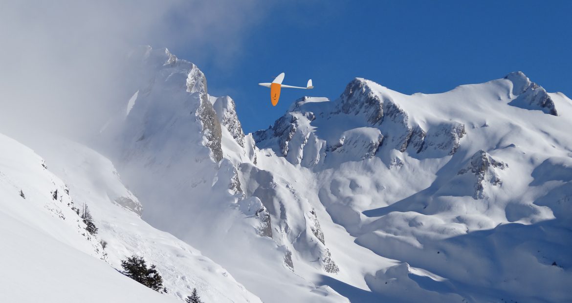
KPWP’s client needed a feasibility study on renovating and developing The Meije Ski Resort, one of the few large...
Read more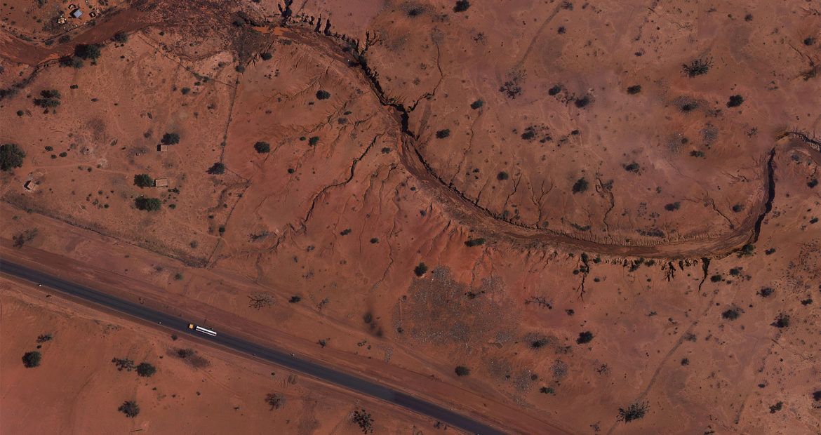
The company urgently needed to start a preliminary topographic study on the construction of the railway....
Read more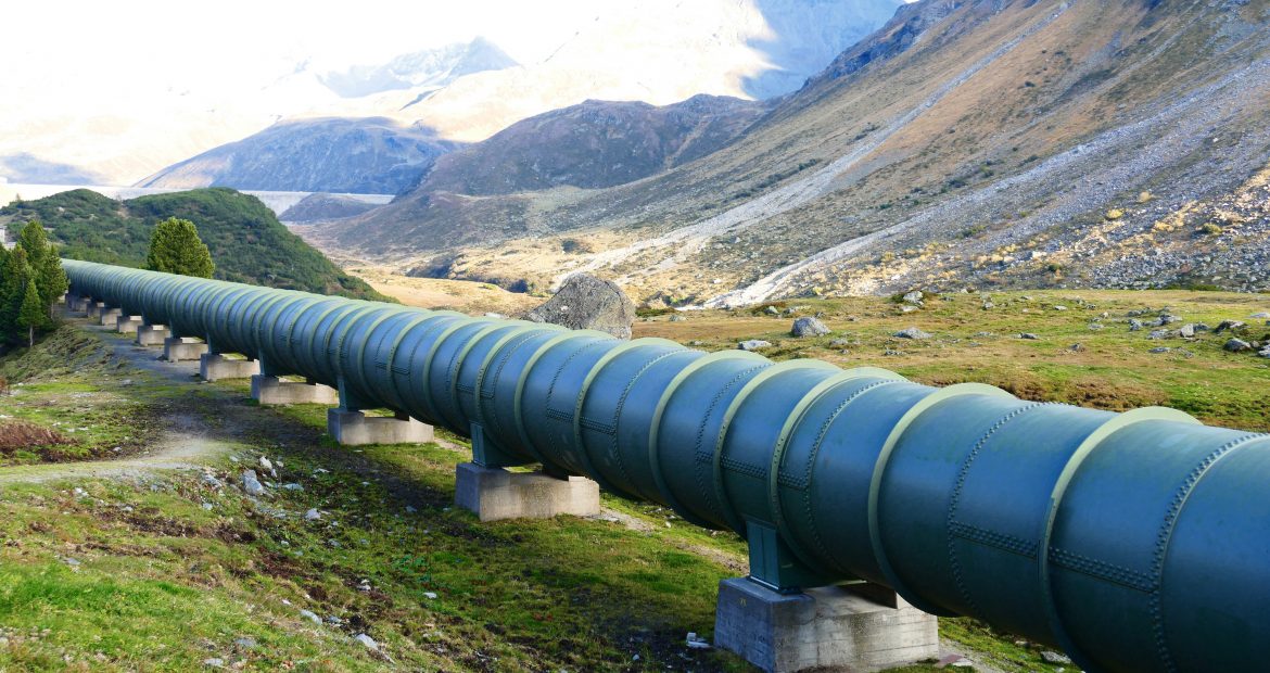
Looking for new ways of managing its assets to improve its productivity, safety and environmental efficiency, Perenco called on...
Read more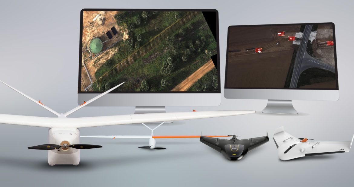
Pioneering UAV supplier opens first service centers in US, offers its entire drone product line through leading drone sales...
Read more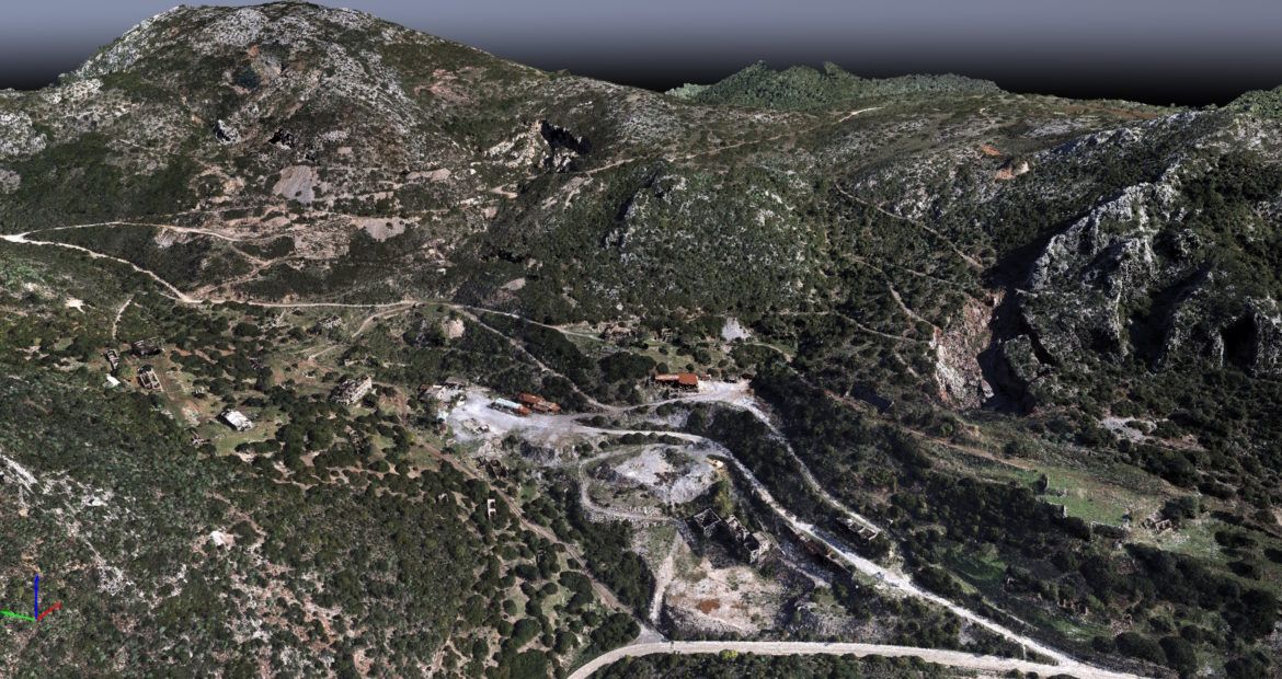
Emergency mapping drones: use case for collapsed mine structure. Closed for several years the Acquaresi mine is a very...
Read more