Land surveying with drones for large oil & gas infrastructures
THE CUSTOMER
Perenco is a leading Oil & Gas company operating in 13 countries. Involved in both onshore and offshore operations, Perenco operates its own assets to provide the highest safety and environmental standards.

THE NEED
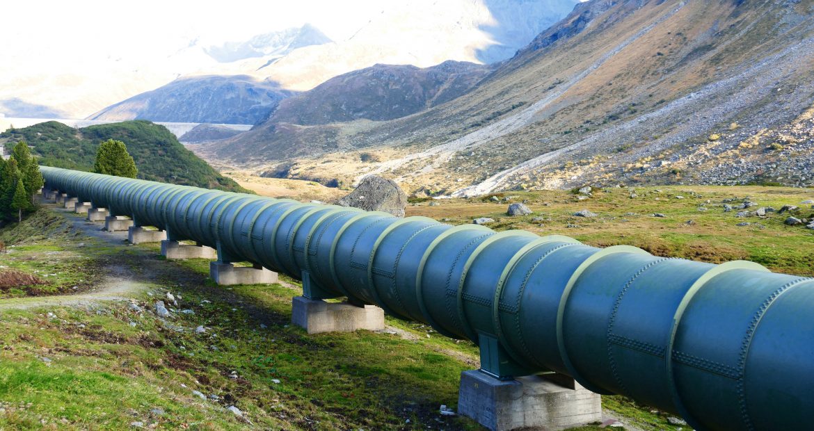
Looking for new ways of managing its assets to improve its productivity, safety and environmental efficiency, Perenco called on Delair to deploy its aerial monitoring solutions over its sites in Democratic Republic of Congo. The purpose of the mission was to demonstrate the capacity of the DT18 to cover a wide range of applications, such as onshore pipeline and offshore spill surveys, leak detection, volume calculation (waste management), pollution control, topography, aerial mapping (roads, pipelines, tank-farm, inaccessible areas)

THE SOLUTION
Delair decided to use its DT18 HD system. The DT18 HD is indeed the perfect tool for high-resolution mapping, topography and surveying purposes, but also to perform detailed inspection through high resolution photos and thus allows Oil & Gas companies to cover all their needs with a single platform. Renowned for its endurance (2 hours) and communication range (20 km with wireless link or 100 km with 3G), but also its reliability and safety, the DT18 is the most suitable and versatile lightweight UAV solution in the market for Oil & Gas companies.
THE OPERATION
The mission was divided into 3 different operations that took place in various locations in Democratic Republic of Congo. These operations consisted in the surveying of an onshore pipeline, the surveying of an offshore platform and the topography acquisition of a coastline. During this 4-day mission, more than 800 km were covered by the DT18 flying at different altitudes comprised between 80 m and 500 m above ground level. Thanks to its high endurance and range, the whole mission was completed in only 17 flights despite harsh weather and environmental conditions.
DATA ANALYSIS & DELIVERABLES
After the flights, the georeferenced images captured by the DT18’s camera were sent to the cloud based platform for processing and analysis. In order to meet Perenco’s needs and standards, various high-resolution deliverables (3-4 cm image resolution) were provided, such as 3D point clouds, Digital Surface Model (DSM), Digital Terrain Model (DTM) and orthomosaic. A more detailed analysis was then performed by Delair’s experts to provide a full report describing volume calculations, contour lines, pollution areas and pipeline anomalies (leaks, road crossings, abnormal bend, coating defaults, vegetation, etc.)
The deliverables for Perenco were anomaly reports, charts with the quantites for every volume that was to be calculated, georeferenced data on the Geographic Information System (GIS) that is used by the operators of the site and design of every pipeline that Perenco wanted to report ( in the AutoCAD dxf file format).
BUSINESS BENEFITS
- Versatile solution for mapping remote zones and harsh environments
- Long endurance UAV allowing survey of linear infrastructures
- Innovative tool to improve productivity, safety and environmental efficiency
- High resolution images for visual inspections and anomaly detection in remote locations
WHY DID THEY CHOOSE DELAIR?
Advanced tool for high resolution photos for visual inspections
Delair’s DT18 UAV is an industrial solution for oil & gas linear infrastructures inspection
The Delair solution manages the whole chain providing useful business insights and detailed analysis
Integrated solution for topography, anomaly detection and other Geographic Information System applications