
LATEST ARTICLES
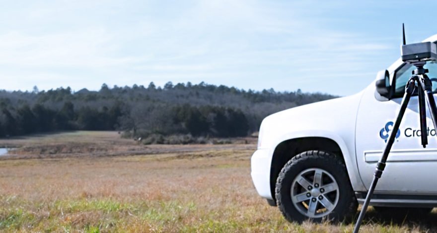
Facing a tight deadline, Crafton Tull chose the Delair UX11 to complete a massive drone survey of a 52-mile, 9,000-acres corridor for a new oil and gas pipeline - saving time, money, and producing a detailed survey that met its client’s requirements.
Read more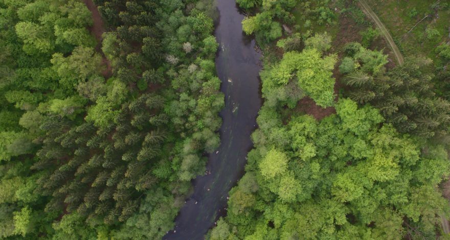
The primary purposes for this project were to identify the highest level of the Garonne river during floods (like after a climatic event) and to obtain historical data about each flood over the course of the long term.
Read more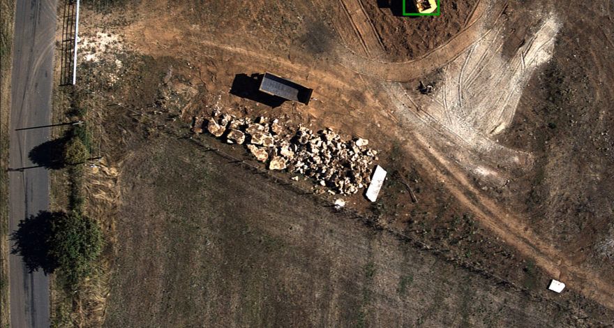
Engie is responsible for the weekly monitoring of sections of GRTgaz pipeline to ensure that there is no unauthorized construction over the pipeline that could cause damage to the infrastructure. The Delair DT18 seemed to be a good alternatif to traditional inspection methods.
Read more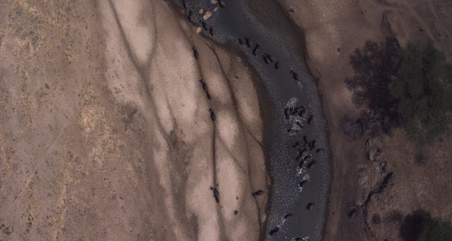
Bathawk Recon aims to propose leading-edge surveillance technology for antipoaching operations. They intended to use professional UAVs to reveal the places where poachers are hiding
Read more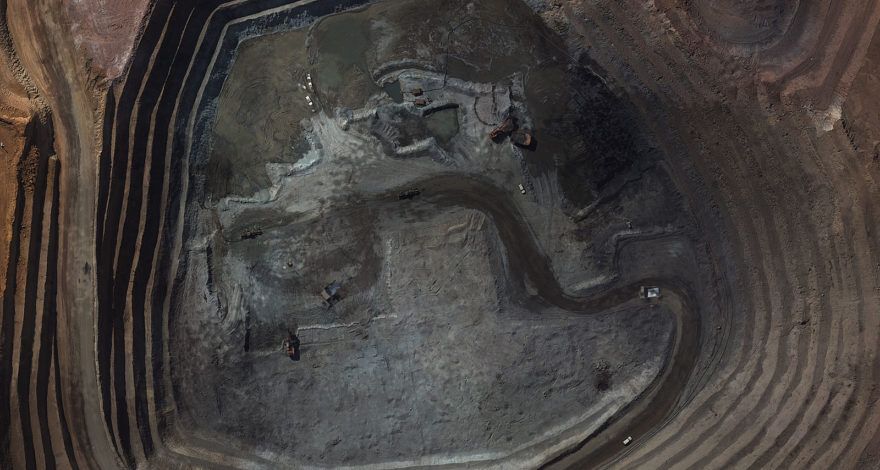
The copper mine at Tenke Fungurume (TFM) in the Katanga Province of the Democratic Republic of Congo. TFM’s mining activities include surface mining, leaching, and SX/EW operations. They need weekly topographical surveys in order to calculate the production capacity and generate digital surface models (DSM) of the mine.
Read more