
Delair UX11: large-area mission planning made simple by allowing the pilot to conduct multiple flights with a single flight plan, by respecting geofences.
Read more
With this update of Delair Flight Deck, the Delair UX11's pilot can now easily switch from 2.4 GHz band used to communicate with the the ground control station to cellular, on-the-fly to keep continuous command and control of the drone. The Delair UX11 can automatically adjust the location...
Read more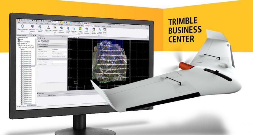
Delair’s long standing partnership with Trimble yields a major enhancement to a streamlined drone photogrammetry workflow - the recent release of Trimble Business Center v5.0 now supports high-precision PPK drone data with a new JXL output exclusively available with the Delair UX11 PPK drone.
Read more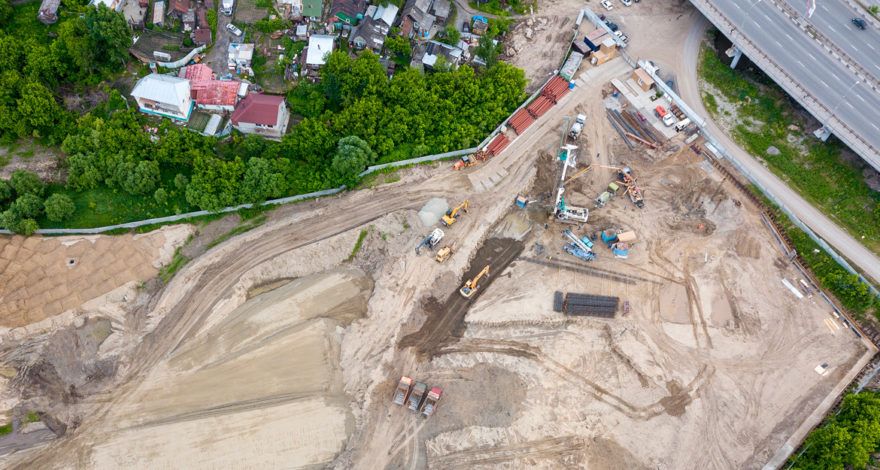
Aerial data today play a key role in the digitization strategy for construction sites. Drones, or unmanned aerial vehicles (UAVs), are part of an increasingly connected environment where machines and tools are equipped with a wide range of technological tools and sensors. The aerial and ground data merged and...
Read more
Light distance and ranging (LiDAR) technology has advanced tremendously in recent years and the valuable data it provides is highly sought after.
Read more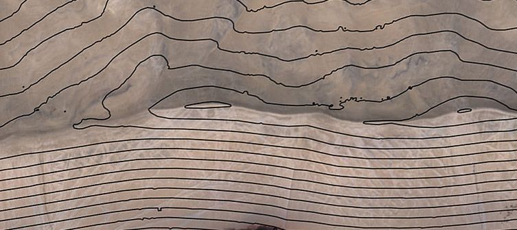
Topographic mapping is a routine task for many surveyors, engineers, and construction professionals. Just about any project design requires a topographic survey in order for a project manager to know what the characteristics of the ground are in order to properly design the project.
Read more
Every geospatial project starts with a well-defined scope. Within that scope there is inevitably a plan for how the data to be analyzed will first be collected.
Read more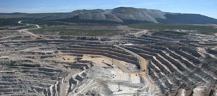
Whether determining the location of one asset relative to another or identifying the geographic coordinates of a feature on the Earth, geospatial professionals are focused on identifying where things are. Accurate location data enables land surveyors, construction foremen, engineers, and others to take precise
Read more
On the occasion of the International LiDAR Mapping Forum taking place in Denver, CO (USA), from Monday, February 13th to Wednesday, February 15th, Delair released a white paper entitled “DT26X – LiDAR performances”.
Read more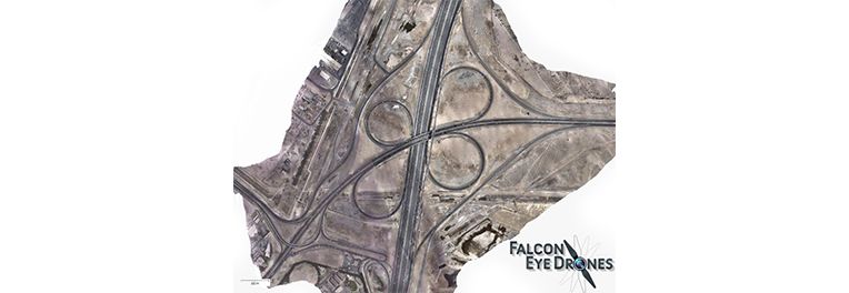
On the 7th and 8th of August 2016, Delair’s DT18 flew 2 hours each day just before noon during rush hour over one of the busiest interchange on the biggest highway in Dubai.
Read more