
LATEST ARTICLES

Aerial services start-up blends drones, satellites and data analytics to inspect power lines of largest utility provider in Georgia.
Read more
Every geospatial project starts with a well-defined scope. Within that scope there is inevitably a plan for how the...
Read more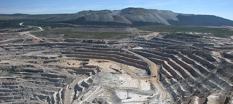
Whether determining the location of one asset relative to another or identifying the geographic coordinates of a feature on...
Read more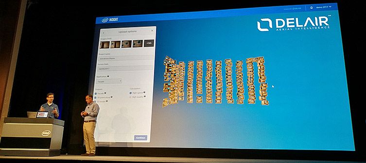
The newly announced Intel Insight Platform is a cloud-based data processing, analytics and reporting service that allows customers to...
Read more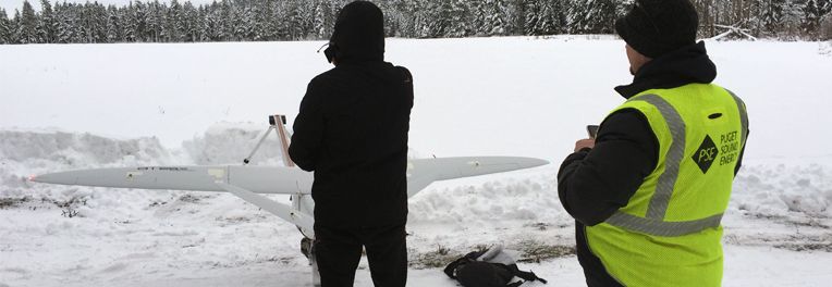
These test flights reinforce Delair position as a global leader of the commercial drone market. Benjamin Benharrosh, co-founder of...
Read more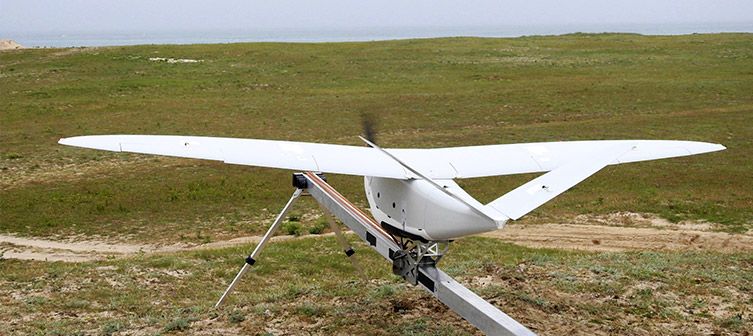
The endorsement by France’s official procurement group strengthens Delair’s position as world leader in the professional drone market TOULOUSE,...
Read more