Aerial services start-up blends drones, satellites and data analytics to inspect power lines of largest utility provider in Georgia.
Airbus Aerial brings together aerospace technologies such as drones and satellites, combines them in a common software infrastructure, and applies industry-specific analytics to deliver tailored solutions to customers in utilities, agriculture, insurance and other markets. In this case, Airbus Aerial was able to image an entire portion of the State of Georgia by satellite, identify the need areas along the lines where maintenance issues could occur, then used BVLOS drone inspections to determine how to remedy the issue.
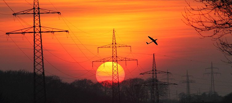
The trial used a fixed-wing drone– the DT-18 from Aerial partner, Delair, to inspect vegetation encroachment on power lines. Having already acquired and analyzed satellite images of the area from Airbus’ Pleiades satellite, the team selected areas to inspect for more detailed inspection using the DT-18. The drone transmitted live video and imagery data back to the ground team using 4G as well as direct data links to demonstrate multiple options for transmitting commands to the aircraft.