Mapping professionals across many industries have grown to value the level of detail that aerial LiDAR and photogrammetry can provide. They have also adopted drones as a useful tool to collect this aerial data. But what if you could collect LiDAR AND photogrammetry data at the same time, with a UAV, and at scale?
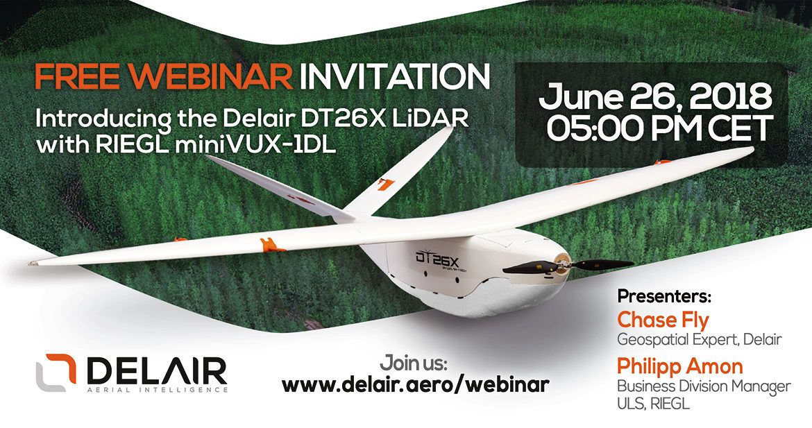
Attend this webinar to learn about the new Delair DT26X LiDAR UAV with the Riegl miniVUX-1DL LiDAR sensor and an embedded RGB camera. This dual-sensor payload mounted on a professional fixed-wing UAV that can fly for nearly two hours and up to 30 km away really opens the door to tackling large-scale mapping projects in a way that can be both safer and more economical than using conventional manned aircraft.
From industries including forestry, agriculture, power and utilities, environmental monitoring, surveying, and mining, the DT26X LiDAR system lends itself perfectly to mapping corridors and large areas in various environmental conditions.