How to get consistent UAV orthophoto resolution thanks to precise terrain following and use of custom digital elevation models
Being able to load a custom digital elevation model (DEM) in the UAV mission planning software is key for precise terrain following. This yields better, more consistent orthoimage resolution and enables safer flights. Custom DEM support is especially useful for drone operators working in the mining, aggregates, construction, landfill management, and surveying industries.
UAV terrain following for better aerial imagery resolution
In professional mapping drone speak, terrain following refers to when a UAV flies at a constant height above the terrain as opposed to a fixed altitude above the ground at the takeoff point. The benefit of this in a photogrammetry context is that because your photos are taken at a consistent height relative to the terrain, the final ground sample distance (GSD) or resolution of the orthophoto will be uniform. In order to follow the terrain, however, you first need a digital elevation model in order for the drone to know where the ground is so it can adjust it’s altitude during flight accordingly.
Where to get your DEM for your drone flights?
A common and reliable source for global elevation data is a NASA program called the Shuttle Radar Topography Mission (SRTM). The SRTM provides a DEM of nearly the entire Earth (between 54°S to 60°N latitude) and the data is provided for free.
This is the DEM database that Delair references in Delair Flight Deck software for mission planning for use with the Delair UX11. In fact, the Delair UX11 is one of the only UAVs in its category to use the SRTM model which enables more complex operations such as flying beyond visual line of sight (BVLOS) in remote areas of the world.
While the SRTM is a useful resource that helps enable terrain following with a mapping drone, one limitation with the model is that the collection of the surface elevation data can date back several years. It is not always up-to-date for where you want to fly, especially if the site of interest has been significantly disturbed in recent years.
How to use your custom DEM in your UAV flight plan
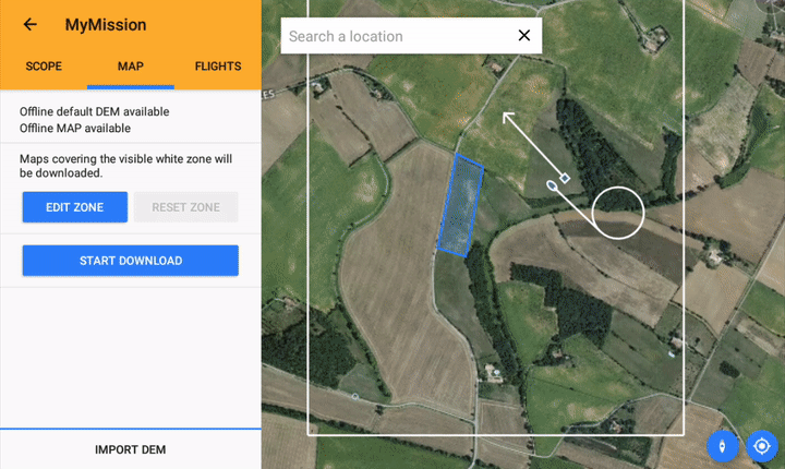
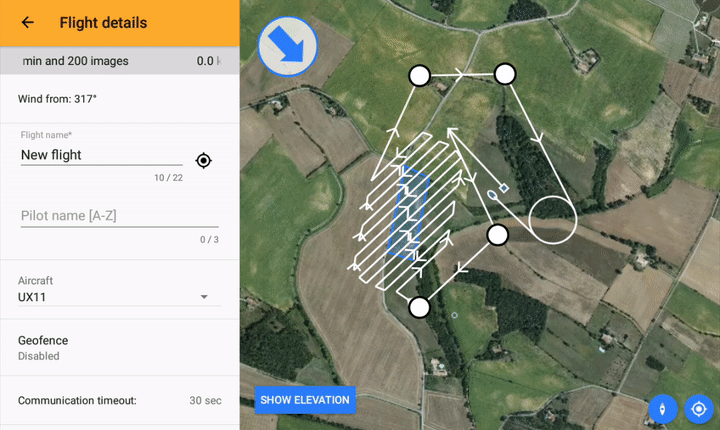
Delair Flight Deck software supports the use of a custom DEM for mission planning. A user can simply load their own DEM onto the Android tablet in geotiff format, import the DEM into Delair Flight Deck, and select that DEM for the relevant missions.
And because the UX11 is designed for the purpose of mapping and creating new surface models of a site, you can go full circle and ultimately load a surface model generated from a previous UX11 aerial survey into Delair Flight Deck for the next survey. This way, your surface is always up to date, and you are always flying the optimum flight plan for your site to ensure the most consistent resolution possible.
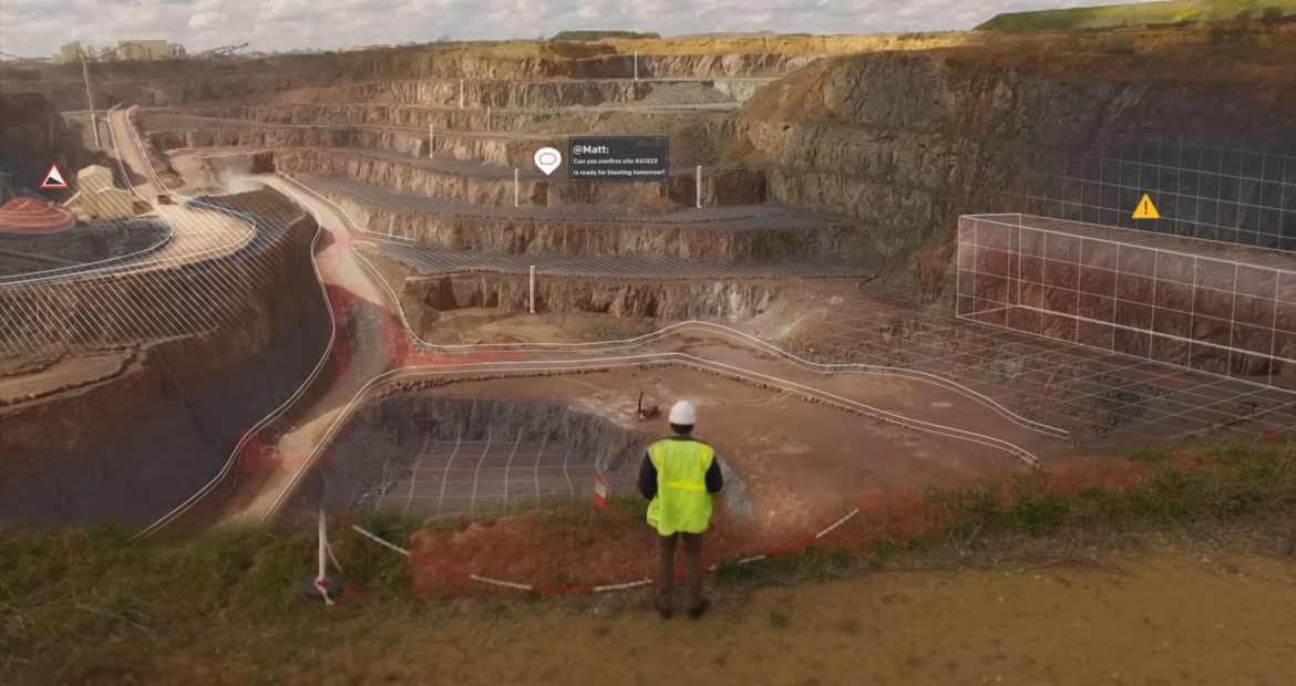
 This feature is of particular interest in the case of a mine, a quarry, a landfill, or a large construction site where earthmoving activities result in a constantly evolving surface. The shape and height of the surface at these sites is likely to be dramatically different than what is observed in the SRTM model.
Now you can use a new DEM every week if needed in order to plan the most effective UX11 flight possible. In addition, this custom DEM support provides the pilot with greater confidence that the automated flight plan is safe and that the drone will avoid terrain obstructions that may fall in its flight path.
This is one of the many great features offered with the Delair UX11 and Delair Flight Deck software to provide optimized, easy-to-use, streamlined workflows for geospatial professionals such as surveyors, engineers, and GIS professionals looking to perform aerial surveys with a drone.