Automated classifications
Automated RGB Classification.
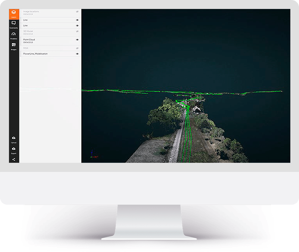
Photogrammetry is useful to visualize the ground surrounding your asset. This tool will automatically classify objects in your terrain orthomosaics.
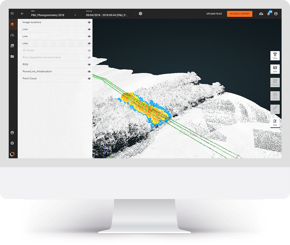
Automated LiDAR Point Classification.
Power line corridors stretch for many kilometers and would require significant manual labor to identify objects throughout the point cloud. Artificial intelligence platforms automate the process by classifying objects as lines, poles, vegetation and terrain. Additional classes are available including buildings, crossing lines, roads and railways. And if you need even more, custom classifications can be tailored to your needs.