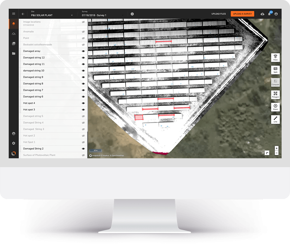
Cloud-based maps & models
Generate the digital twin of your assets
with our cloud-based photogrammetry and LiDAR tools, visualize
your entire area of interest and be ready to get the most out of it.
your entire area of interest and be ready to get the most out of it.
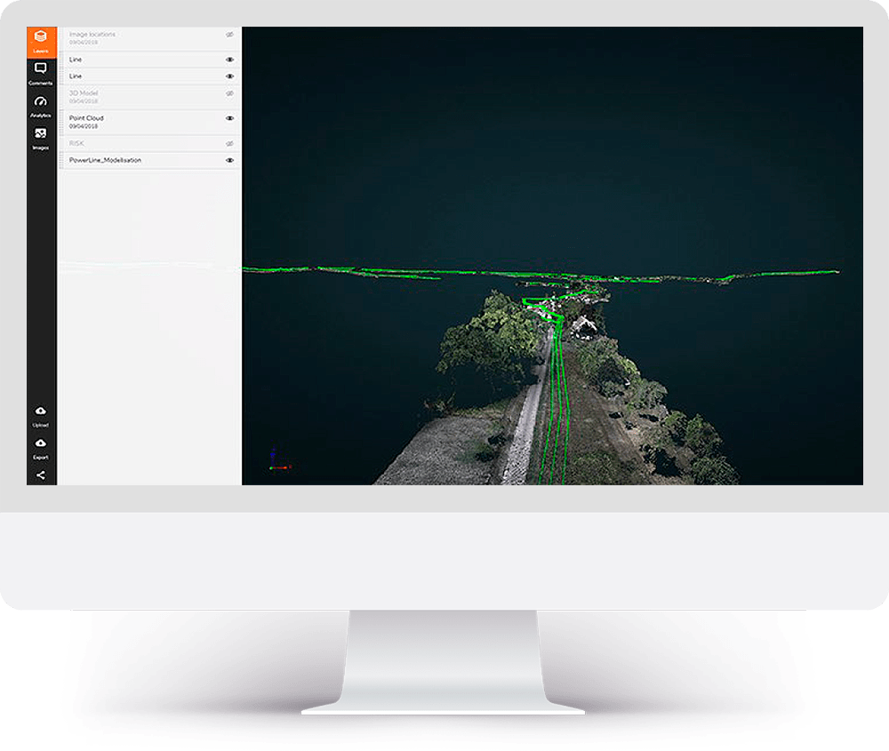
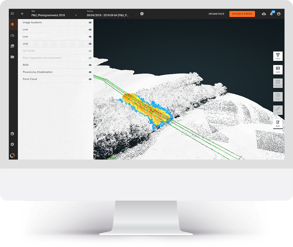
Photogrammetry.
PROFESSIONAL-QUALITY MAP PRODUCTS FROM IMAGES.
View RGB photogrammetry deliverables including a point cloud, digital surface model, orthomosaic image, and 3D mesh for vivid maps of the environment around the infrastructure.
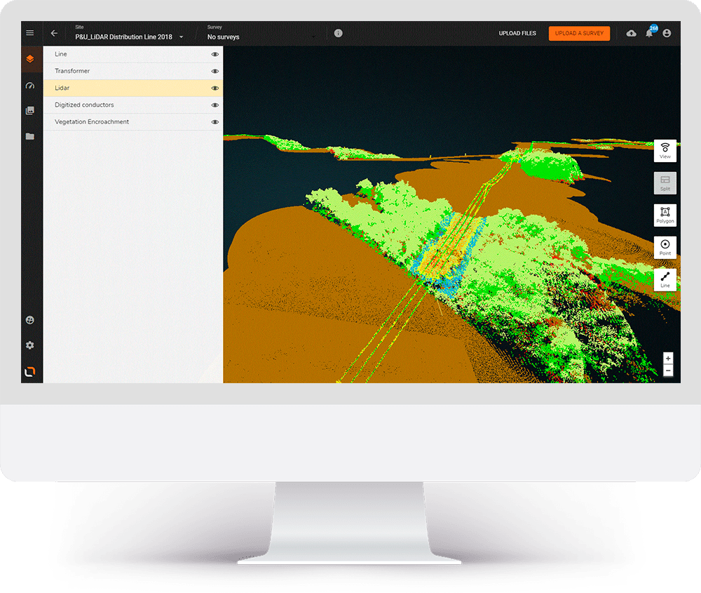
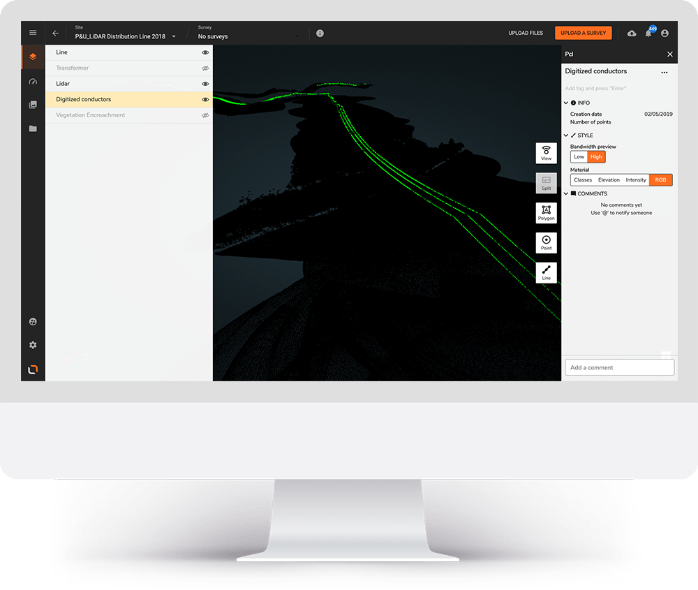
Lidar.
DETAILED 3D POINT CLOUDS OF YOUR INFRASTRUCTURE AND SURROUNDING ENVIRONMENT.
Lidar is incredibly powerful at providing a highly detailed digital twin of infrastructure, capturing even the smallest components. Simultaneously, view the surrounding environment to address risks, such as dangerous trees or buildings too close to lines.