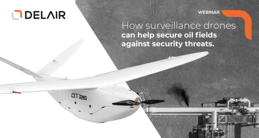
Watch this webinar and discover common ways of using drones to secure oil production fields and learn how they can help you create a safer environment for your staff while improving productivity.
Read more[Jeudi, 4 avril 2019 - 11 AM ET] Y a-t-il sur terre un arpenteur-géomètre qui ne voudrait pas économiser du temps et de l’argent, obtenir plus de données fiables, prendre moins de risques sur le terrain, en un mot, être plus productif? La solution est simple: utiliser un drone à...
Read moreIs there on earth, a surveyor or a mapper who wouldn’t be interested in saving time and money, get more reliable data, take less risks in the fields and, in one word, be more productive? The solution is that simple: just fly a fixed-wing drone and move further into...
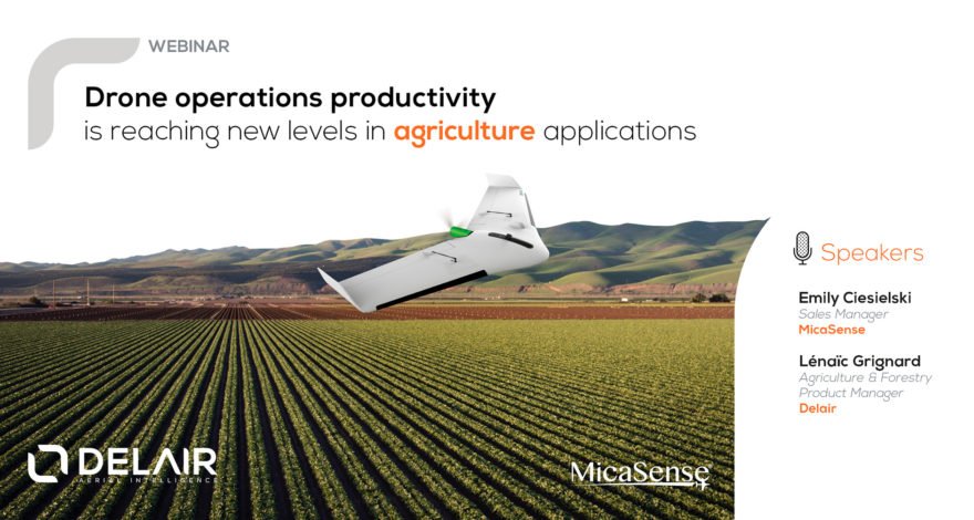
Read moreInnovations in drone technology, coupled with a truly user-centric approach, gave birth to a new kind of UAV solutions that meet the real-life challenges of agriculture professionals. In this webinar, you’ll discover not only how and why latest fixed-wing drones are now becoming a user-friendly tool in agriculture, but...
Read moreTwice the data in half the time: the Delair DT26X LiDAR democratizes airborne LiDAR by enabling the technology to be used in a much wider range of projects. The solution hugely reduces costs and safety risks which makes the DT26X LiDAR a scalable alternative to manned aircraft for corridor...
Read moreRecent Posts
- La Région Occitanie et la Banque des Territoires réaffirment leur engagement auprès de Delair 2 December 2025
- Delair sponsor engagé aux côtés de Jean-Baptiste Daramy pour relever le défi de l’Atlantique 7 November 2025
- EY Entrepreneur of the Year Award: DELAIR named Occitanie Scale-Up of the Year 2025 29 October 2025
- Delair unveils a new drone at Paris Air Show 2025 : the DT61 16 June 2025
