PRODUCTS
DELAIR DRONES
UX11
DELAIR UX11
DT 26 LINE
DT26E LIDAR
DT26E SURVEILLANCE
DT26E TACTICAL
DT26E OPEN PAYLOAD
HYDRONE
DT46
Delair underwater drone SEASAM
DESIGN OFFICE
APPLICATIONS
SECURITY AND DEFENSE
LINEAR & INFRASTRUCTURES
GEOSPATIAL
MANUFACTURING & SUPPORT
ABOUT US
JOB OPPORTUNITIES
CONTACT US
NEWS
PRESS BOOK
PRESS RELEASES
Newsletter
SUPPORT
Drone Analytics
Show All
Agriculture & Forestry
Emergency
Geospatial
Mines & Quarries
Oil & Gas
Powerlines
Railways & Roads
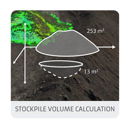
Volume calculation
Mines & Quarries
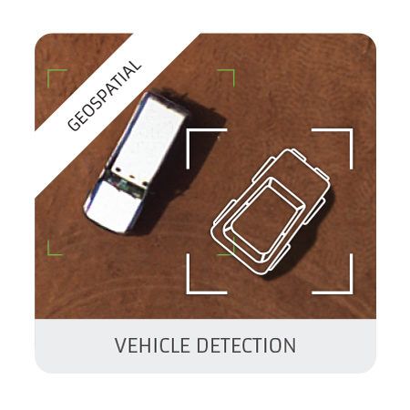
Vehicle detection
Geospatial
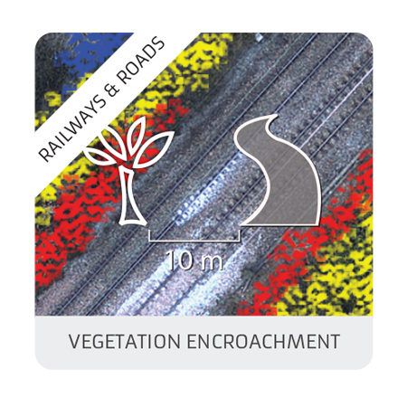
Vegetation encroachment
Railways & Roads
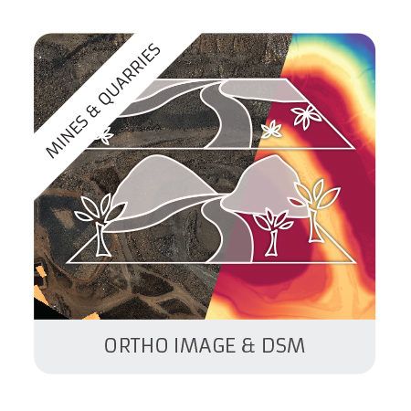
Ortho & DSM
Mines & Quarries
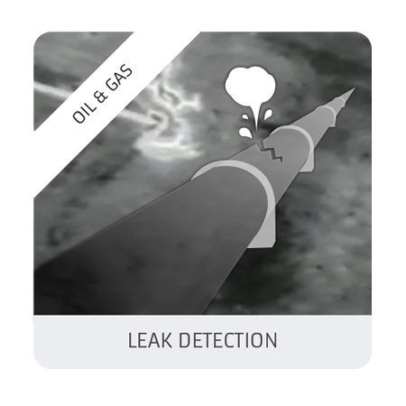
Leak detection
Oil & Gas
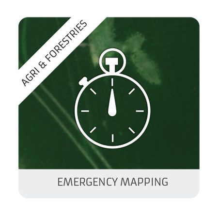
Emergency mapping
Agriculture & Forestry, Emergency
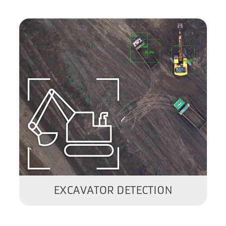
Excavators detection
Oil & Gas
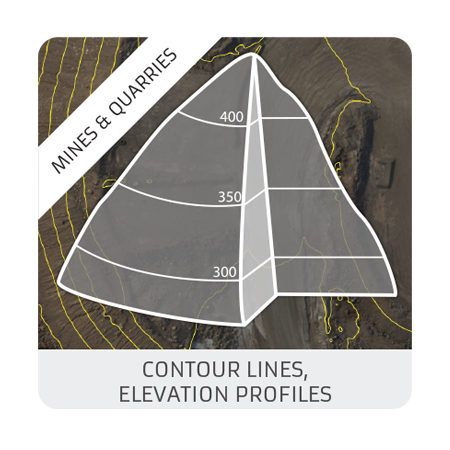
Contour lines : elevation profiles
Mines & Quarries
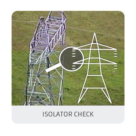
Isolators check
Powerlines
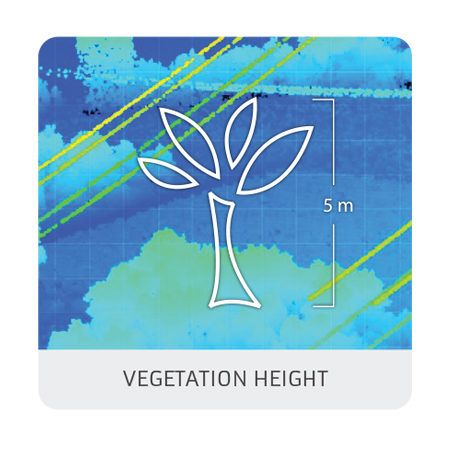
Vegetation height
Powerlines
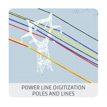
Powerline level 2 : poles and lines digitization
Powerlines
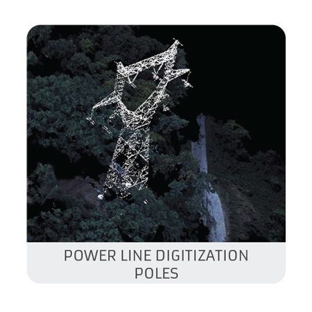
Power Line digitization – Level1 : Poles (photogrammetry)
Powerlines
X