SUCCESS STORY
Riverbank mapping for flood monitoring with drones
THE CUSTOMER
DDT-31 is a French Department of Territory Management. DDT stands for Direction Départamentale des Territoires, with the "31" referring to the Haute-Garonne department which is located in the Occitania region.

THE NEED
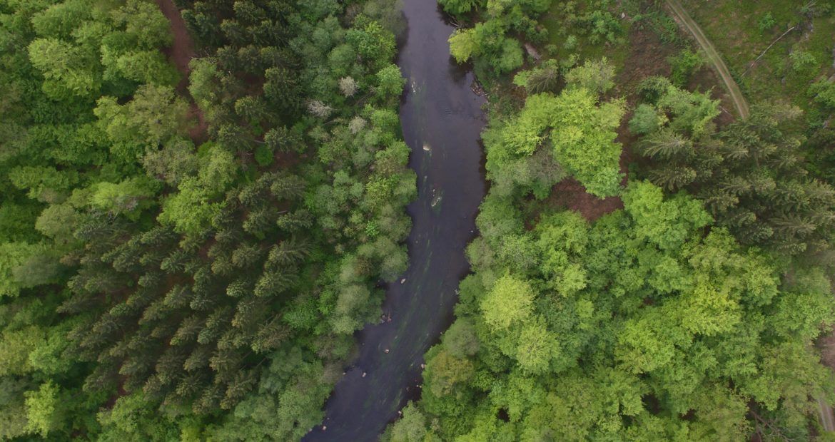
The primary purpose of this project was to collect insights during a flood in the Garonne river in Toulouse, France so that it could be analyzed and compared to historical data. The secondary purpose was to analyze the riverbanks after the flood in order to determine if fallen trees or other debris caused obstruction to the river and its banks.

THE SOLUTION
To address the needs of DDT-31, Delair deployed the BVLOS-certified DT18 long range UAV system equipped with an industrial RGB sensor. The high endurance of the DT18 allows operators to cover long linear distances or large areas in a single flight – in this case, a 360 ha section of the Garonne river. The DT18 flew along the Garonne river, out of sight of the operator, and collected over 15km of data.
THE OPERATION
In November 2014, the DT18 accomplished as part of a bigger mission, a 1 hour flight above the Garonne river and covered 15km of corridor. 2 000 images were acquired and then processed on the Delair cloud platform. The resolution of this data set was 4.12cm per pixel.
DATA ANALYSIS & DELIVERABLES
Putting the data to work. After the flight, the data was uploaded to the Delair’s cloud base platform to be processed. The results were ready to be delivered after 24 hours, which is ideal when every minute counts during emergency situations. The high resolution of the created map allowed the responders to clearly observe fallen trees and other objects obstructing the river.
BUSINESS BENEFITS
- Long range UAV allowing to cover more kilometers per flight
- The cloud based platform efficiency enables quick turnaround on reporting and processing
- Reactive tool to detect obstructions
WHY DID THEY CHOOSE DELAIR?
Professional certified solution
The DT18 is one of the few systems certified to fly BVLOS to map long corridors
Quick and efficient solution from A to Z
Delair UAVs enables the final data user to have actionable data in a short period of time
Versatile solution and quick deployment
The DT18 is a versatile solution that can be deploy quickly in case of an emergency and in harsh conditions