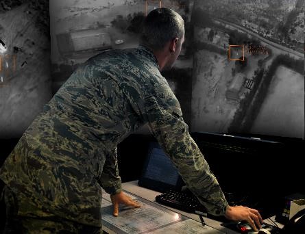
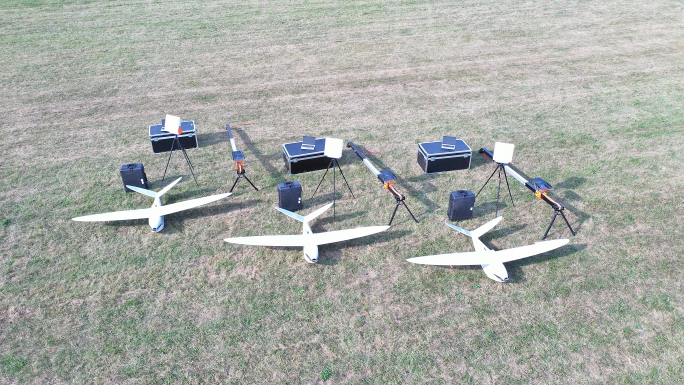
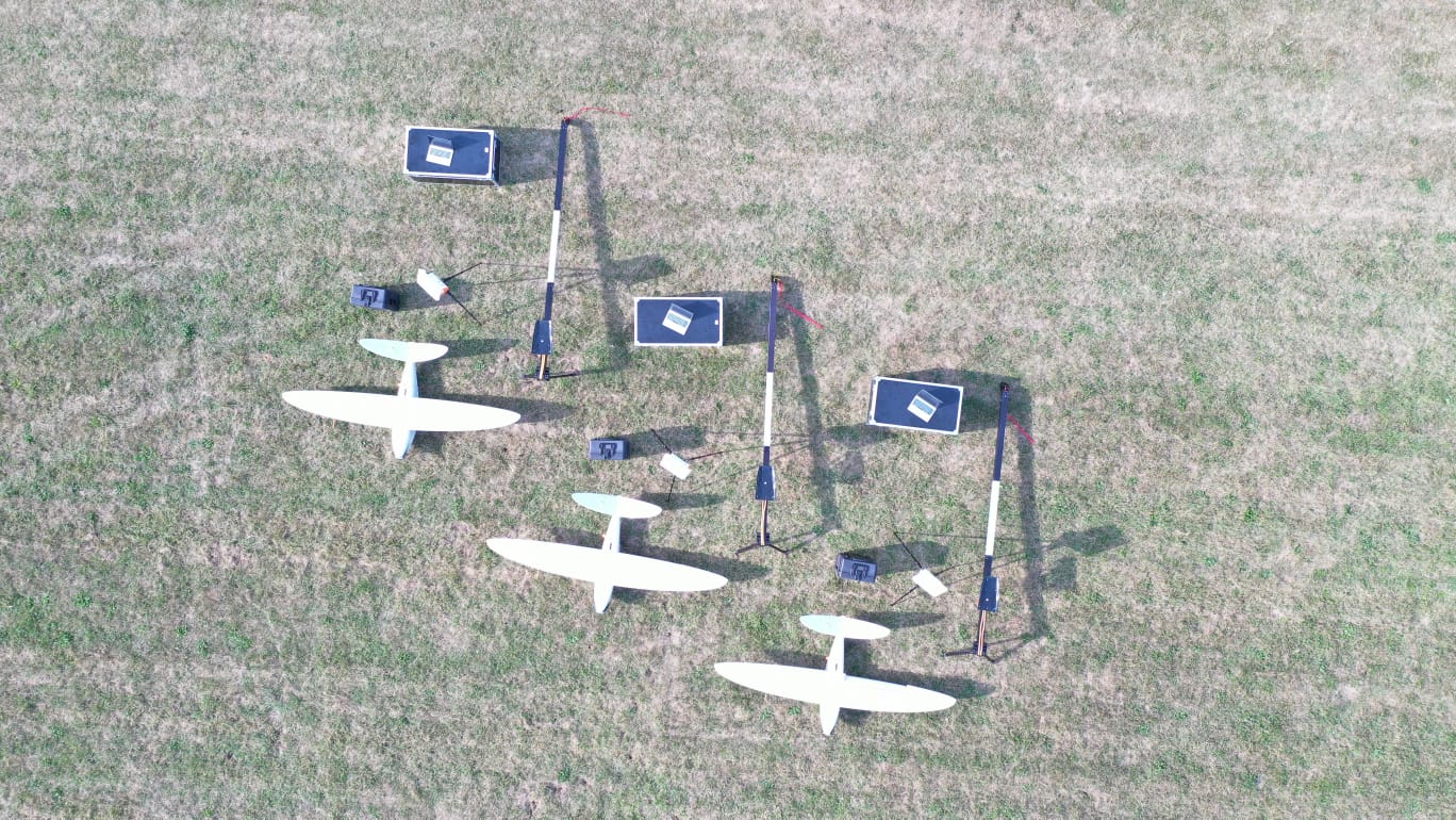
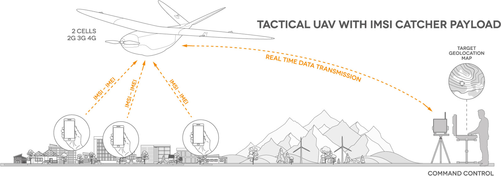
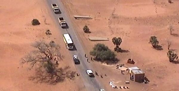
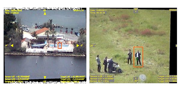
Delair drones have purpose-built features for security and surveillance applications:
- Real-time data transmission
- Silent with no radar signature
- Open payload capacity
- Quick set up ( <20 min)
- Communications systems that use dedicated military or security forces frequencies
- Video tracking of four targets in parallel
- Interoperability and communication between drones
- Operability in extreme conditions (operational temperatures -15°C to +50°C)
Delair drones can be used to map a village for a reconnaissance survey before troops on the ground advance towards it.
Mission commanders can browse the generated 3D model to identify tactical positions, street accesses to the buildings, and the presence of parked vehicles. They can even measure distances between objects, heights of buildings, and precise coordinates of locations of interest.
