Business ready data processing solutions & professional drones
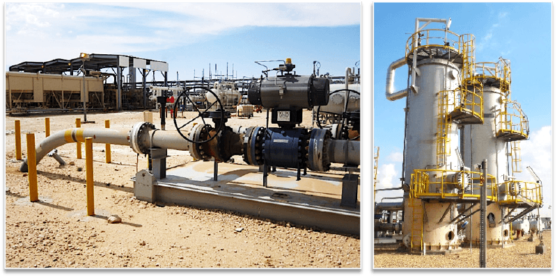
Oil & Gas
Get digital twins of your assets in 3 steps
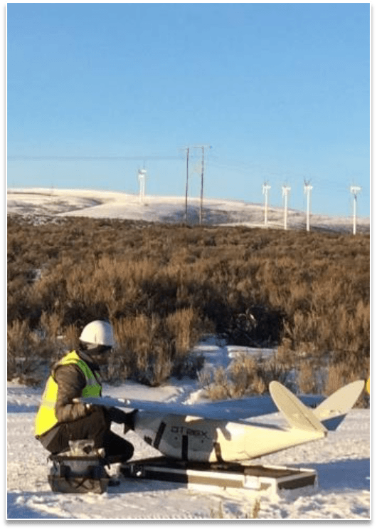
1. Data acquisition

Plan and carry out your drone flight, collect high-quality data
2. Photogrammetry Software

Secure data storage
& photogrammetry
3. Oil & Gas applications

Generate actionable Oil & Gas
business insights
Aerial intelligence for Oil & Gas

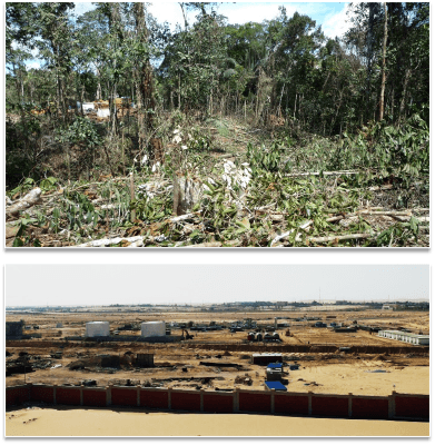
Exploration – Construction
Pre-projects & projects

Asset Lifecycle Management
Integrity, operations, production
Integrity, operations, production

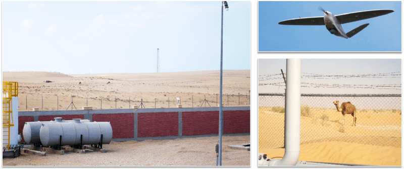
Security – QHSE
Personnel & infrastructure protection
Personnel & infrastructure protection
Delair Oil & Gas applications


Success Stories
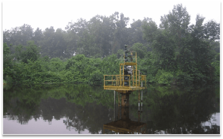
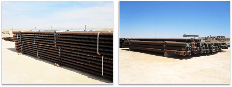
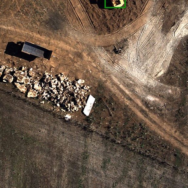
Land surveying for large Oil & Gas infrastructures
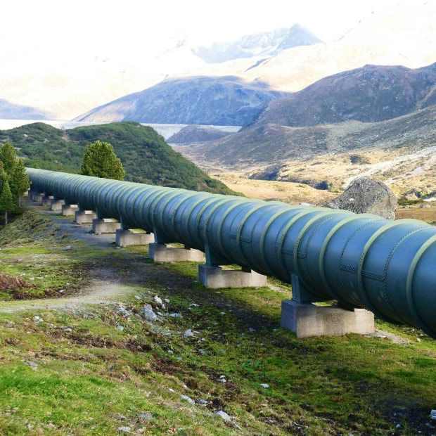
Underground pipeline inspection with drones
Let's talk
Contact us for a one-on-one discussion and free quote
with one of Delair’s drone specialists
with one of Delair’s drone specialists
(All fields are required except for the optional "message" and "phone" fields)